The city of Chennai was created when the British acquired a three-mile long strip of land, including a fishing village called Madraspatnam. Fishing communities were here before the rest of the city, but today, in both legislation and in public perception, these fisherfolk are deemed trespassers on the very beach they’ve called home for hundreds of years. One path that can help rectify this frailty is by creating locally generated maps that allow us to understand the relationship of fishermen with the coastline, and to use this data to craft legislation that ensures that fishermen have access to the land they need for their lives and livelihoods on the coast.
In India, there are around 3202 marine fishing villages, with 591 of these located in Tamil Nadu alone. Fishing communities have evolved well functioning internal governance institutions, fishermen’s panchayats, which oversee and manage the common lands of the community.
Yet, studies indicate that clearly stated fisher folk rights even for basic provisions like titles and deeds for their houses and settlements are yet to be addressed properly. In fact, it was only when the Coastal Regulation Zone (CRZ) Notification of 1991 came into force was any acceptance given to customary land rights for fishermen at all. However, due to the lack of clear definitions the CRZ has failed in truly empowering fishing communities. For example, the CRZ states that “traditional” communities have the right to be on the coast. But what exactly defines a “traditional” community? As soon as we begin to create parameters for this definition we hit roadblocks. For instance, the age of the community alone cannot be used as a determining factor on whether a community is ‘traditional’ or not. This is because over time, many new villages in different locations on the coast have been formed by traditional fishermen who have moved out of their parent village due to factors like congestion and overcrowding. It would seem the best way to define a traditional community would be through an analysis of its livelihood, social and cultural practices. However, with no guideline data to make comparisons with, ‘traditional’ is still a term open to interpretation. More controversial still is that the CRZ notification places the power of interpreting these parameters in the hands of the State and District Coastal Zone Management Authority, which are both government agencies that presently have none or negligible representation from the fishing community. The recently passed CRZ Notification of 2011 has done nothing to rectify these problems.
In the city, fishermen have fared even worse. Their lands were classified as “slums” under the Tamil Nadu Slum Clearance Act, 1971 and control over the lands was given over to the Tamil Nadu Slum Clearance Board, with land title allocations not carried out in a comprehensive manner. This has led to a situation where the government has the power to relocate fishing communities wherever they wish without any consideration given to fishermen’s livelihoods, something that the fishermen of Srinivsapuram faced after the tsunami.
Sadly, people’s perceptions of urban fishing hamlets, post government reclassification, has followed suit. How so? Well, what seems to have happened in recent times is that, to the general public of Chennai, the word kuppam, which just means fishing village, has became synonymous in our city with slum. The discourse surrounding the word kuppam has coalesced with common discourses surrounding slums (think dirty, clandestine, dangerous, unproductive, encroachers).
So what needs to change? First of all, it is imperative that concerted steps be taken to gather data that can help in understanding the customary practices of fishing communities on the beach. Secondly, proper information about the landuse and customary practices of fishing communities should be used to reformulate the laws to ensure that these lands are reserved explicitly for fishermen. Such a law would go a long way in empowering them to counter threats from rapid development.
In urban fishing hamlets, the creation and exhibition of such data will also serve as a positive step forward in creating awareness amongst the general public on the activities of the fishing community, and their historic place in the city. This kind of data collection will also do well to remind beachgoers that while they perceive the beach as a public space to be used for recreation, fishermen have long negotiated the coasts as a home and a place to work.
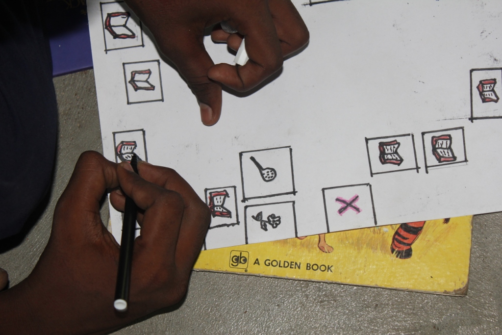
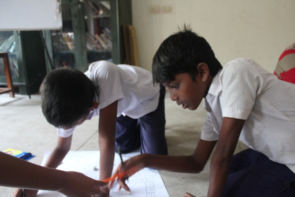
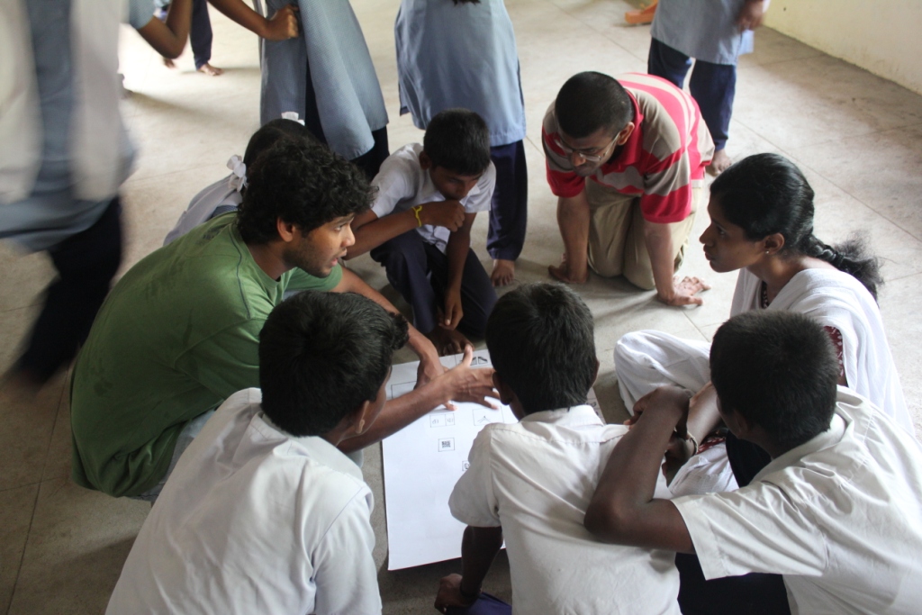
Through locally generated maps, we aim to do our part in rectifying the enormous lack of data on fishing communities. We believe that this technique, known as ‘participatory mapping’, is also one of the best ways to do this because unlike other data gathering processes, the initiation and ownership of the data will rest primarily in the hands of the local panchayat and residents.
Based on preliminary meetings held with kuppam residents and the panchayat it has been decided that three kinds of maps will be generated- those that provide information on landuse, on local infrastructure and those that provide locally generated demographic information on the community.
We are very excited at the prospect of helping create locally generated maps, and hope to use the mapping exercise at Urur and Olcott Kuppam as a pilot study, so that we can extend this method of data collection to all the fishing hamlets on Chennai’s coastline.
-Siddharth Hande